2022 shaares
663 private links
663 private links
6 results
tagged
election
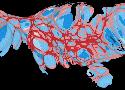

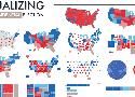
A great collection of various ways to geospatially visualize presidential elections. Done with tableau, not QGIS, but a super handy reference with several visualization strategies all in one place - many do not preserve geographic (land shape) sensibility.
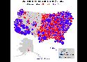
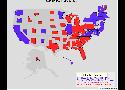
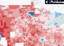
An interactive map that lets readers explore in new detail how most states voted in the 2020 presidential election.